
DHL / FedEx, fully tracked
Free repair & technical support
MesLink app updates included
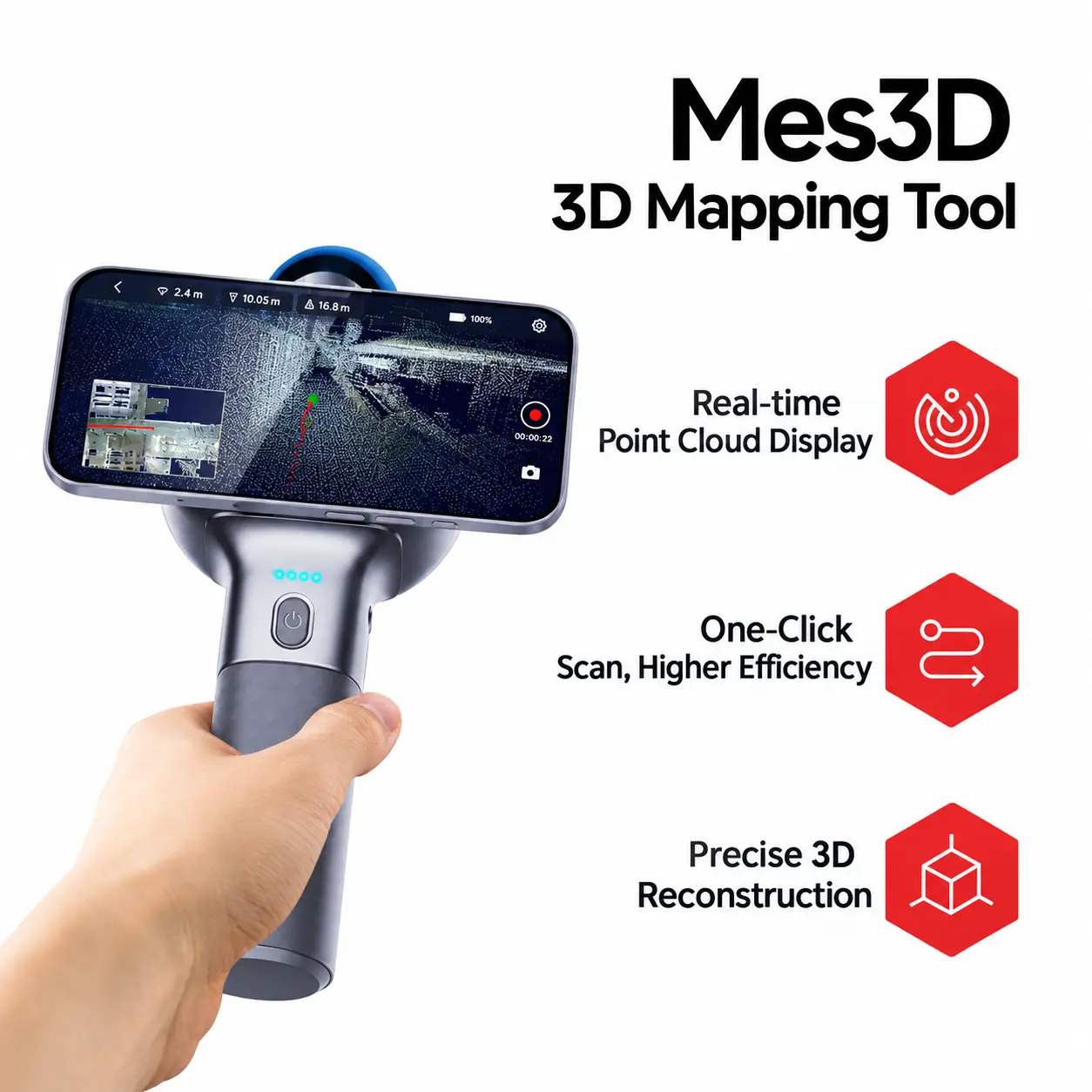
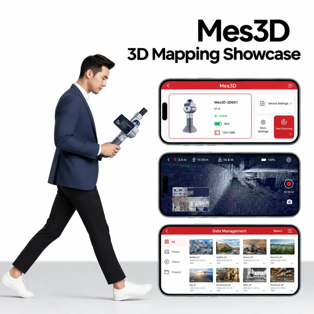
Watch the point-cloud model build up live on your phone as you walk and scan.
Mes3D pairs with the MesLink app over Wi-Fi — zero complex setup.
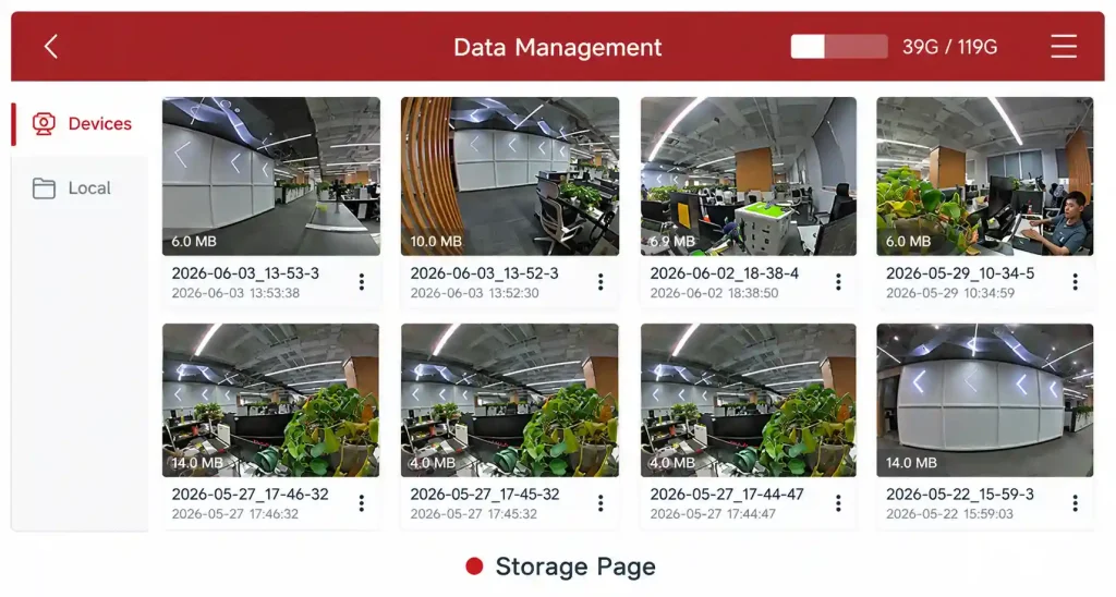
Data saved to U-disk / memory card on device, with one-tap download to phone for preview.
Single, continuous, area, volume and indirect measurement — one device, full coverage.
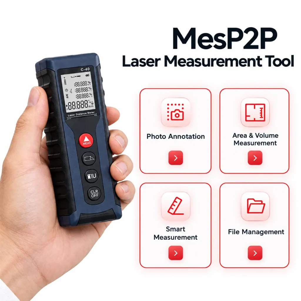
Annotate lines, angles, shapes and notes on live photos or gallery images — measured values drop straight onto the picture.
Draw standard floor plans with live values — no CAD skills needed. Export as JPG, PDF or DXF.
Single-point, area (rectangle / triangle / trapezoid), volume and indirect measurement, with history records.
Every measurement is saved, renameable and shareable via WeChat, DingTalk and more.
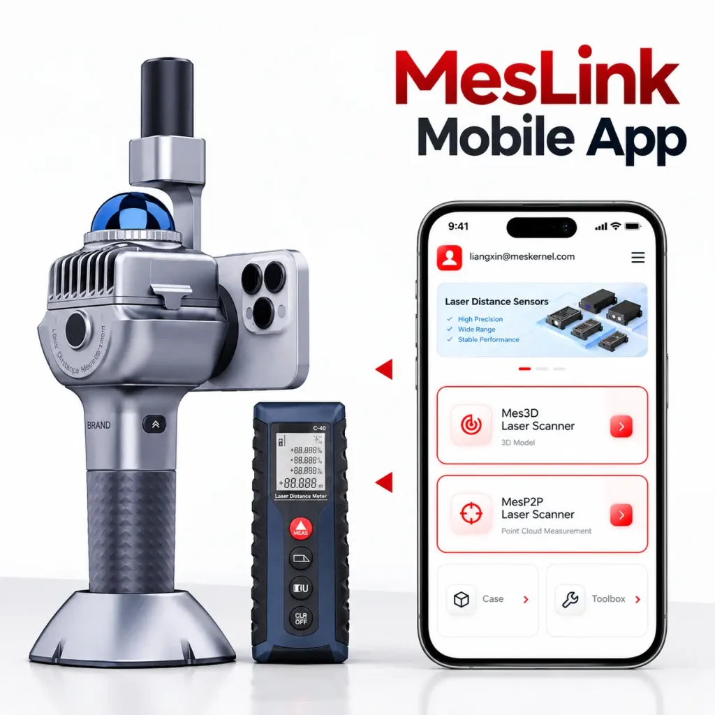
Wi-Fi hotspot pairing with Mes3D — no password needed.
Start/stop, parameters, rendering modes — all from your phone.
MesP2P connects via Bluetooth for instant laser measurement.
Compass, level and calculator for on-site convenience.
Switch app language anytime in settings.
Note: After stopping a scan, wait a few minutes before powering the device off so the data can finish saving. Deleted files cannot be recovered.
Mes3D and MesP2P are built for anyone who needs measured, shareable space data on site — without a survey crew.
Do I need the Mes3D scanner to use the scanning feature?
Yes. 3D scanning requires the Mes3D handheld scanner. Connect it by selecting the Wi-Fi hotspot whose name starts with “mes” in the MesLink app — no password is required.
Where is my scan data stored, and how do I get it onto my computer?
Each scan is saved to the scanner’s U-disk or memory card. After stopping a scan, wait a few minutes before switching the device off so the data finishes saving. You can download files to your phone in File Management, then transfer them to a PC for full post-processing.
Can I view the complete 3D model on my phone?
The in-app preview shows a thinned point cloud — enough to confirm which areas were scanned. For the full-resolution result, export the data and post-process it on a computer.
How do I connect the MesP2P laser distance meter?
Enable Bluetooth and location permission on your phone, power on the meter, then go to Settings → My Devices → Start scanning, and tap connect next to your device. “Connected” in green means it is ready.
Does indirect measurement work on every device?
No. Indirect measurement requires a tilt / angle-capable module. If your device does not support it, the app shows “This device does not support angle measurement”.
What file formats can I export?
Floor plans can be exported as JPG, PDF or DXF. Annotated photos are saved directly to your phone’s gallery and can be shared via WeChat, DingTalk and other apps.
Is deleted data recoverable?
No. Once a scan or measurement file is deleted it cannot be restored — please back up important data before removing files.