Applications of Laser Distance Sensors & 3D Laser Scanners
Whether you need a single distance reading for automation or the complete 3D geometry of an object, room, or site, Meskernel builds a laser solution for the job. Explore how our TOF laser ranging modules measure distance and dimension in demanding environments, and how the handheld Mes3D laser scanner reconstructs real-world shapes in minutes.
Why Choose Laser Ranging
Compared with ultrasonic and mechanical contact measurement, laser (TOF) ranging offers non-contact, high precision, compact size, and long service life, making it ideal for confined spaces, moving targets, and harsh industrial environments. Our modules span short-range precision measurement to long-distance detection up to 3000 m, and integrate easily via UART / I2C and other interfaces.
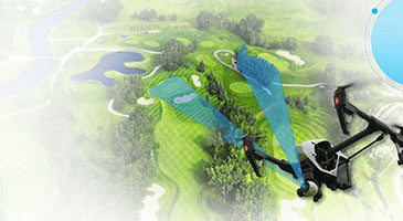
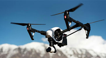
UAV & Drone
For UAV altitude holding, obstacle avoidance, and payload-integrated ranging, compatible with consumer and industrial drone platforms.
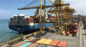
Pallet positioning, location measurement, and stacked-height monitoring—enabling volume calculation and collision prevention for high-bay storage, with live data for smarter real-time decision-making.
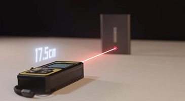
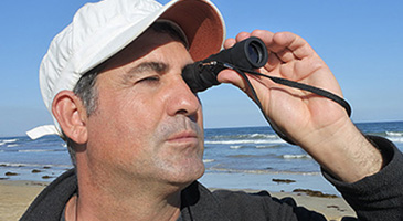
Fast, reliable readings; one-hand operation; compact and portable; clear display; works across varied light and terrain; easy integration with binoculars, monoculars, and handheld observation
Compatible with Arduino, ESP32, and Raspberry Pi, it enables fast prototyping of ranging applications for hiking, camping, wildlife observation, field survey, and other outdoor scenarios.
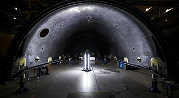
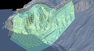
Where single-point sensors measure distance, the Mes3D handheld laser scanner captures the shape of an entire object, room, or structure. Connected to the MesLink APP over Wi-Fi, it reconstructs surfaces in real time on your phone, highlights the areas already scanned, and flags blind spots as you move, so a clean 3D capture can be produced on the first pass.
For on-site measurement and drawing, the MesP2P module turns your phone into a measuring station: photo annotation, single and continuous distance, area, volume, and indirect measurement, plus dimensioned floor plans exportable as JPG, PDF, or DXF.
Construction & BIM
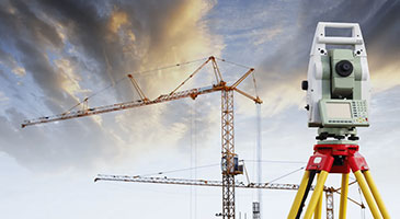
Capture rooms, walls, and as-built conditions live, then use scan data for BIM coordination, renovation planning, and progress reference.
1. Connect — Install the MesLink APP, power on the scanner, and join its Wi-Fi hotspot (network names start with mes).
2. Scan — Walk slowly around the object or through the space. The APP reconstructs the surface live and shows which regions have already been captured.
3. Complete — Follow the coverage map and re-scan any blind spots until every face of the target has been captured.
4. Export — Download the scan to your PC as point-cloud data for CAD or BIM work, or create a dimensioned floor plan with MesP2P and share it as JPG, PDF, or DXF.
How to Choose the Right Laser Ranging Sensor
Single-point ranging answers distance; 3D scanning answers shape. For ranging modules, focus on range, accuracy, interface, and spot size; for full-geometry capture, refer to the 3D laser scanner guides above. We provide complete product manuals and interface documentation to help you match the right model quickly, and our engineering team is available for custom recommendations.
The mainstream interfaces are UART and I2C, with some models offering RS485 or analog output, making it easy to connect to controllers such as Arduino, ESP32, and PLCs.
A laser distance sensor measures the distance to a single target point (0.1–100 m depending on model) and returns the reading over UART / I2C or other interfaces for automation and control. A 3D laser scanner such as Mes3D captures the full geometry of an object or space: as you scan, the MesLink APP reconstructs the surface in real time, and the finished scan can be downloaded as point-cloud data for CAD or BIM work.
No. Mes3D connects to the MesLink APP over its own Wi-Fi hotspot, and reconstruction is automatic and previewed live on the phone. Scanned regions are clearly highlighted and remaining blind spots are shown, so the capture step is easy to learn; modelling happens later on a PC only if your workflow needs it.
With Mes3D you can download scan data to your phone or PC as point clouds for modelling. With MesP2P, dimensioned floor plans and survey drawings can be exported as JPG, PDF, or DXF files, ready for CAD and reports.
Distance, Shape, or Both? Find Your Laser Solution
Need a fast, single-point measurement for automation or level checks? Choose our laser ranging modules (0.001–3000 m). Need to capture a whole object, room, or site? Choose the Mes3D handheld 3D scanner. Not sure where to start? Our engineers will recommend the right sensor and workflow.